NASA Disasters: Interactive Kilauea Aerial Map
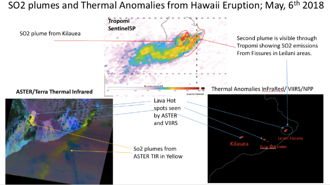
NASA Disasters – Kilauea Airborne Science Story Map: NASA’s ongoing airborne efforts to understand the volcanic eruption resulted in this interactive map (below).
On May 3rd, 2018, the Kilauea volcano on Hawaii’s Big Island erupted from new fissures and sent lava flowing over streets and neighborhoods. As the eruption disaster unfolded, managers from NASA’s Earth Science Disasters Program heard from response agencies and sent out a call to NASA’s own researchers, data managers, and satellite teams: “What can we do to help?” They created this disaster map.
View Fullscreen on the NASA Disasters Mapping Portal
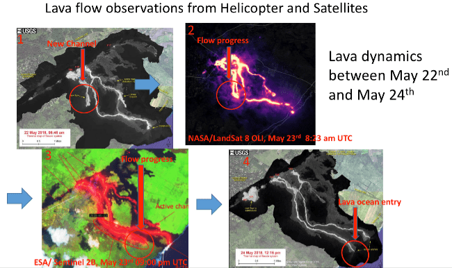
Kilauea Eruption Lava Dynamics May 22nd – 24th, 2018: These NASA images show lava observations from USGS helicopter thermal imagery and the NASA Landsat 8 and ESA Sentinel 2B satellites.
Amazon Products
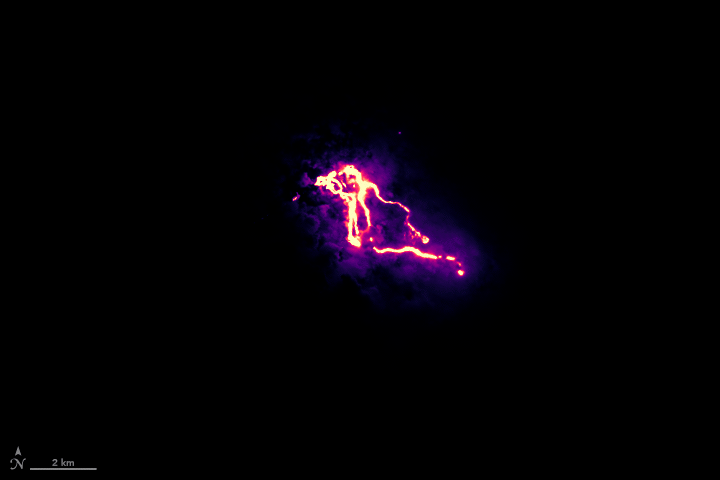
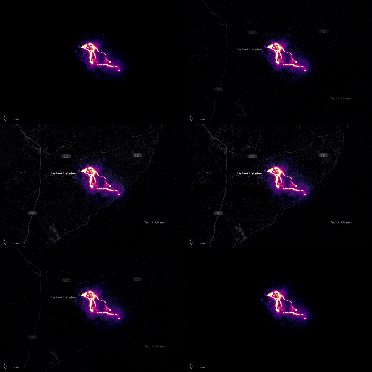
Watch the animated gif below (second image) to see how Leilani Estates was impacted.
